Mountains are one of the most important parts of maps, as they often create the borders of nations. Learn all about drawing mountains in this article!
First things first, I’d like to say that this is the first of a series on Drawing Maps I’d like to write. Maps are some of my favorite things to draw and they add direct content to your world. The best thing about drawing maps is probably the relaxation value. I just love sitting at a desk, drawing mountains for hours and hours on end.
The other thing I should mention is that this is my personal approach at drawing mountains, and is in no way the only way to draw them. As you practice, you will develop your own style, which you will probably like most.
Be also aware that this is only a guide on how to draw mountains for maps, not how to place them in your world. That article will come someday in the future.
With that said, let’s dive in!
For my drawings, I use a pencil, an eraser, and my current sketchbook.
Step 1 – Outlines
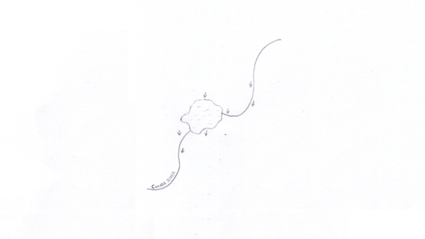
The first step I take is to draw outlines of the mountains. I usually do just triangles, sometimes bending them towards one side. It’s a good idea to choose different sizes of mountains, as this adds variability to your map. Be sure to overlap the mountains, as well.

Step 2 – Shadows
Now pick one side, from which the light will come. I usually pick the right side, just for the habit. On the other side, draw shadows of the mountains, using squiggly lines. Add a little bit of shadow going towards the middle of the mountain. This signalized the connection to the ground the mountain has.

(Optional) Step 3 – Hills
After I have finished my mountains, I tend to ease the transition between the mountains and the other parts of the world. This is not necessary, but I like to do it in most cases, just because most mountains don’t just rise from flat ground.
Ease the transition using smaller, rounded hills. Lower the size of the hills, and the density in which they appear, the further you go away from the mountains.
Add hill shadows. On the small ones, I just fill the whole side of the hill, while on the bigger ones, I follow the same process as on the mountains themselves.

(Optional) Step 4 – Complex Mountains
This is more of a variation on Step 1, than a Step 4, but if you want to, you can draw more than just triangles as mountains. You can add extrusions to their sides. This adds a bit of realism, but you have to think about how the shadows would react then. Other than realism, it can be done as a stylistic choice.

How do you draw mountains? What other parts of maps should I cover? If you’d like some feedback, send me your maps over to darezar@beta.eledris.com! If you’d like to, you can also comment any feedback below this article.
📌 Pin this for later!